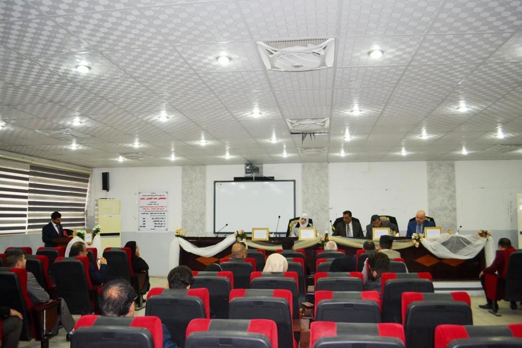
جرت يوم الخميس الموافق 27 / 12/ 2018  على  قاعة الدراسات العليا في قسم علوم الفيزياء  المناقشة العلنية لرسالة طالب الماجستير مصطفى عبد الجليل رحيم من قسم علوم الفيزياء و الموسومة :

(قرار استخدام الاراضي باستخدام الاستدلال الضبابي  من صور الاقمارالصناعية – دراسة محاكاة)

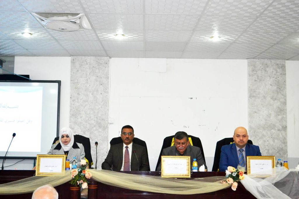
حيث تألفت لجنة المناقشة من التدريسيين الأفاضل :

أ.د. عبد الرزاق طارش زبون                       رئيسا

أ.م.د. عدي حاتم شعبان                            عضوا

م.د. علي عدنان نعمة                               عضوا

ا.م.د. امال جبار حاتم                                عضوا ومشرفا

في هذه الدراسة  تم تطبيق طريقة  تقنين النطاق لحساب مؤشر الملوحة  (SI)ومؤشر الجفاف المتعدد الموجات المعياري(NMDI)  كمعالجة مسبقة لاتخاذ قرار الزراعة في مناطق معينة. لفصل معالم التربة الجرداء عن المعالم الأخرى الموجودة في المشهد ، تم استخدام طريقة التصنيف الكلاسيكية ( تصنيف الاحتمالية القصوى ) من خلال تصنيف منطقة الدراسة الى فئات متعددة (النباتات الصحية(HV)  والأراضي العشبية (GL) والماء(W) والحضر(U) والتربة الجرداء(BS) ). تستخدم صورة القمر الصناعي لاندسات 8 لمنطقة في جنوب العراق.

تم استخدام قرار استخدام الأراضي باستخدام نظام الاستدلال الضبابي (FIS) لتحديد صلاحية الزراعة لمختلف أنواع المحاصيل وفقا لقيم مؤشر الملوحة(SI) ومؤشر الجفاف المتعدد المقاس (NMDI)لكل محصول. لا توجد مواصفات خاصة بالأرض كمؤشر ل SI  و NMDI للتربة المكشوفة الا بعد تقسيم خطوة التصنيف الى ثلاث مستويات (مديات) (منخفضة  ومتوسطة وعالية) وتستخدم لبناء قاعدة القرار. طبق نظام الاستدلال الضبابي على منطقة الخميسية  في جنوب العراق لتصنيفها وفقا للمحاصيل التي ينبغي زراعتها. وتوصلت نتائج الدراسة الى ان ارض الخميسية  صالحة ومناسبة لزراعة محاصيل محددة (بصل ، خس ، ملفوف ، خيار ، كرفس ، قاو و لوبيا) وبمساحة 946,541,700 m2  من المساحة المدروسة في حين لا تصلح لزراعة المحاصيل الاخرى وهي الفلفل والبنجر.  أظهرت النتيجة صحة هذا النظام لإعطاء  قرار مسبق ومناسب لأستخدام  الأرض. ويعتبر هذا القرار المأخوذ مسبقا هو قرار تطبيقي في ميدان خدمة سوق العمل.    


The MSc. Thesis discussion of student (Mustafa Abdul Jalil ) from department of Physics

The MSc. Thesis discussion of student (Mustafa Abdul Jalil) entitled(Land Use Decision Using Fuzzy Inference of Satellite Image- a simulation study) has been discussed

The discussion committee

Prof.Dr. Abdulrazak Tarish Zuboon     Head

Asst.Prof.Dr.Oday Hatim Sha’aban    member

Lecturer Dr.Ali Adnan Neama     member

Asst.prof.Dr.Amal Jabar Hatim   supervisor member

Abstract

         In this study, the method of a band rationing was applied to calculate the salinity index (SI) and the NMDI as a pre-treatment for agricultural decision-making in specific regions. To separate the soil from other features in the landscape, the classical classification method (Maximum likelihood classification) is used by classified the study area to multi classes (Healthy vegetation (HV), Grasslands (GL), Water (W), Urban (U), Bare Soil (BS)). A Land at 8 satellite image of an area in the south of Iraq is used

A land use decision by using Fuzzy Inference System (FIS) to determine the validity to agriculture various types of crops according to the values of salinity index (SI) and Normalized Multi-Drought Index (NMDI) for each crop is presented. The SI and NMDI land feature for the bare soil only after a classification step are separated to 3 ranges (low, medium and high) and used to build the decision rule. The FIS applied on the AL-Khamisiyah area in the south of Iraq to classify it according to the crops should be cultivation. The results of the study showed that the land of Khamisiyah is valid and suitable for the cultivation of specific crops (onions, lettuce, cabbage, cucumber, celery, gao and cow pea) with an area of   946, 541,700 m2 of the studied area while not suitable for the cultivation of other crops namely peppers and beets. The result showed the validity of this system to give a prior decision to use the land. This decision is a practical decision in the field of labor market service

IhcoeduAuthor posts

Avatar for ihcoedu

كلية التربية للعلوم الصرفة (ابن الهيثم) College of Education for Pure Science (Ibn Al-Haitham)

Comments are disabled.