
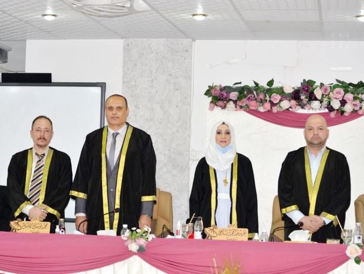
ناقش قسم الفيزياء في كلية التربية للعلوم الصرفة ( ابن الهيثم ) رسالة الماجستير الموسومة ( دراسة التغير في الغطاء الارضي لمدينة بغداد للمدة من 1986 الى 2019 ) في تخصص الاستشعار عن بعد ، للطالبة ( زينب حسين قاسم ) التي انجزتها تحت اشراف التدريسي في القسم ( أ.م.د. حميد مجيد عبد الجبار ) ونوقشت من قبل لجنة المناقشة التي تألفت من الاعضاء المدرجة اسمائهم فيما يأتي :
أ.م.د. تغريد عبد الحميد ناجي ( رئيسا )
أ.م.د. محمد يوسف كامل ( عضوا )
م.د. علي عدنان نعمة ( عضوا )
أ.م.د. حميد مجيد عبد الجبار ( عضوا و مشرفا )
ويهدف هذا البحث إلى الكشف عن آثار التغيرات في الغطاء الأرضي في منطقة الدراسة خلال مراحل زمنية مختلفة، باستخدام صور الأقمار الصناعية وإجراء بعض العمليات من المعالجة والتصنيف، للوصول والكشف عن أنماط التغييرات في الغطاء الأرضي ومراقبة تغيراته، لصالح صانعي القرار أو السلطات ذات الصلة مثل البلدية ووزارة التخطيط ووزارة الزراعة وغيرها.
تمت دراسة الغطاء الأرضي لمدينة بغداد بشكل حصري ضمن حدودها الإدارية خلال السنوات (1986، 1990، 1995، 2000، 2005، 2010، 2015 و2019)، على التوالي.
تم استخدام مشاهد القمر الصناعي كل خمس سنوات، حيث استخدمت صور القمر الصناعي لاندسات-5 للمستشعر (TM) ولاندسات-8 للمستشعر (OLI).
تم تصنيف الأرض إلى عشرة فئات فرعية (ماء عميق، ماء ضحل، نبات غامق، نبات زاهي، نبات طبيعي، عمران بحدائق، عمران بدون حدائق، تربة بيضاء، تربة رمادية، تربة داكنة) وأربع فئات رئيسية (ماء، نبات، عمران، مناطق خالية) وفقًا لخصائص الغطاء الأرضي لمدينة بغداد، وتم تصنيفها باستخدام الطريقة الخاضعة للإشراف (تقنية التصنيف الاحتمالية القصوى)، بواسطة البرمجيات (ENVI 5.3) ومن خلال برنامج نظام المعلومات الجغرافية الكمي QUANTUM GIS (QCIS 3.10) من أجل الحصول على أدق النتائج في القطع والاقتصاص.
تم تقديم دراسة عن الواقع الحضري المتغير لمدينة بغداد خلال تلك الفترة الزمنية وتغير الغطاء النباتي بسبب مجموعة من العوامل البيئية والتأثيرات البشرية وبعض الظواهر البشرية التي أثرت على دقة التصنيف لبعض المناطق التي تقع شرقي مدينة بغداد.
تم إبراز عام 2019 في هذه الدراسة بسبب خصوصيته في تغيير الغطاء الأرضي لمدينة بغداد نتيجة هطول الأمطار وكميتها التي تجاوزت مستوياتها الطبيعية إلى حد بعيد.
وتوصلت الطالبة في نهاية بحثها الى التوصيات الاتية :
-
دراسة مدينة بغداد باستخدام الأقمار الصناعية عالية الدقة حتى متر واحد على الأرض للتعرف على خصائص الغطاء الأرضي بدقة أكبر.
-
دراسة الجزء الشرقي من مدينة بغداد مع صور الأقمار الصناعية التي تم التقاطها بخلاف الساعة 10 صباحا (بالتوقيت المحلي)، لأن الجزء الشرقي من بغداد عادة ما يكون مغطى بسحب الدخان من مصانع الطوب.
-
أخذ عينات ميدانية للمنطقة التي يتوفر فيها النبات الطبيعي، والمنطقة التي تتوفر فيها البيوت التي تحتوي على حدائق، وذلك لزيادة قابلية الفصل بين هاتين الفئتين بسبب تشابههما في الاستجابة الطيفية.
“Changing in Baghdad’s Land Cover for the late 30 years”
By Zainab .H.Qasim
Supervised by Assist. Prof. Dr. Hameed M. Abduljabbar
Abstract
In this thesis, earth cover of the city of Baghdad was exclusively studied within its administrative border during the years (1986, 1990, 1995, 2000, 2005, 2010, 2015 and 2019), respectively.Satellite scenes every five years, as Landsat 5 (TM) and Landsat 8 (OLI) satellite images were used. The land has been classified as ten subclasses, namely water deep, water shallow, plant dark, plant light, natural plant, urban garden, urban pure, soil white, soil gray, and soil dark and four main classes of water, plant, urban, and soil according to the characteristics of the land cover and was classified using the supervised method (Maximum Likelihood Classifier Technique).ENVI 5.3 software and QUANTUM GIS (QCIS 3.10) programs, are utilized in order to get the most accurate results from cutting.A study of the changing urban reality of the city of Baghdad during that period and the change of vegetation due to environmental factors, human influences and some human phenomena that affected the accuracy of the classification for some areas east of the city of Baghdad is presented. The year 2019 has been highlighted because of its privacy in changing the land cover of the city of Baghdad because of the amount of rain that exceeded its natural levels by far.
The Aim of the Thesis
The city of Baghdad has witnessed fundamental changes in patterns of land cover during the past periods between 1986 and 2019,thus this research aims todetect and analyze of the changes that occurred in the land cover to the cityas a result of changing climatic conditions and human activity,and highlighting the role of remote sensing and its ability to classify the land cover.
This research also aims to discover the effects of changes in the land cover in the study area during different time phases, using satellite images and conducting some operations from processing and classification, to reach to uncover patterns of changes in the land cover and monitor its changes, for the benefit of decision-makers or relevant authorities such as the municipality and the Ministry of Planning and the Ministry Agriculture and others.
Suggestions for Future Works
Studying Baghdad city using high resolution satellites up to one meter on the ground to recognize the land cover features more accurately.
Study the eastern part of Baghdad city with satellite image captured other than the 10 am (at local time), since the eastern part of Baghdad usually covered with smoke clouds from the brick’s factories.
Taking field samples for the region where the natural plant is available, and the region where the houses that contain gardens is available, in order to increase reparability between these two classes because of their similarity in the spectral response