
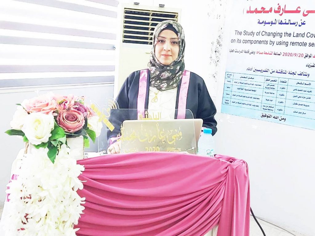
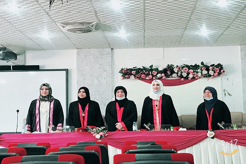
ناقش قسم الفيزياء في كلية التربية للعلوم الصرفة ( ابن الهيثم ) رسالة الماجستير الموسومة ( دراسة تغير غطاء الارض اعتمادا على مكوناتها باستخدام بيانات الاستشعار عن بعد ) للطالبة (منى عارف محمد ) التي انجزتها تحت اشراف التدريسية في القسم ( أ.م.د. امال جبار حاتم ) ونوقشت من قبل اعضاء لجنة المناقشة المبينة اسمائهم فيما ياتي :
-
أ.م.د. تغريد عبد الحميد ناجي (رئيسا).
-
أ.م.د. فاتن عزت محي الدين (عضوا).
-
أ.م.د. عروبه جميل طارش (عضوا).
-
أ.م.د. امال جبار حاتم (عضوا و مشرفا).
تهدف هذه الدراسة إلى تحقيق ما يلي:
1- رصد وتحليل واكتشاف طبيعة التغيير الحاصل في الغطاء الأرضي في جزء من محافظة بغداد وسط العراق خلال الفترة (1990-2019) ومقدار هذا التغيير وماهي الأسباب التي أدت إليه.
2- دراسة منطقة الطارمية من حيث : أ- تصنيف التربة ، ب- معرفة كتل مكونات تربتها (طين ، رمل ، طمي) ، ج- القيام بعملية التنبؤ.
الهدف من أجراء هذا البحث شمل جزءين أساسين الأول هوكشف ومراقبة التغيرات التي طرأت على الغطاء الأرضي بأستخدام نظم المعلومات الجغرافية وتقنيات الاستشعار عن بعد للفترة الممتدة (1990 – 2019) لجزء من محافظة بغداد ، حيث تم أستعمال الصور الفضائية الملتقطة بوساطة القمر الصناعي (لاندسات-5 بالمتحسسTM)،(لاندسات-7بالمتحسس ETM+) و (لاندسات- 8 بالمتحسس OLI ) ومن ثم معالجة بعضها من التشوهات وتفسيرها ،وقد تم الاستعانة ببرنامج ( ENVI )كوسيلة للتصنيف الموجه بطريقة الاحتمالية القصوى لتحديد الاغطية الأرضية لمنطقة الدراسة، حيث بينت النتائج وجود 10 أصناف متباينة في قيم أنعكاسيتها وحساب المساحة لكل صنف ولكل سنة ،ومن خلال هذه الدراسه ونتائجها تم أيجاد نسبة كشف التغير الحاصلة لجميع أصناف الغطاء الارضي لمنطقة الدراسة .أما الجزءالثاني من الدراسة فقد شمل دراسة منطقة الطارمية بأخذ عينات من تربتها لأجراء الفحوصات المختبرية لها وبذلك تم التمكن من خلال النتائج المختبرية على تصنيف أنواع الترب الموجودة في منطقة الطارمية وتحديد نسجتها التي كانت تتضمن (silty clay loam، loam، clay loam) وأسقاط هذه النتائج على خريطة منطقة الطارمية بأستعمال برنامج QGIS وكان الصنف البارز والغالب على المنطقه هو loam، كذلك تم تحديد كتل مكوناتها من طين، رمل وغرين وقد تم اسقاط هذه كتل هذه المكونات على خريطة منطقة الطارمية وكذلك عمل التنبؤ لهذه القيم( الكتلة لكل مكون) ومعرفة مدى تأثير هذه القيم على المناطق المجاورة لها في منطقة الدراسة.
وخلصت الطالبة الى التوصيات الاتية :
-
قد يستطيع اي باحث اخر القيام باجراء عملية كشف التغير لاى منطقه اخرى يراد معرفة وكشف تغير صنف معين او مجموعه من الاصناف باستخدام تقنيات الاستشعار عن بعد ونظم المعلومات الجغرافيه ويفضل استعمال برنامج ENVIلانه برنامج جيد ودقيق وذا وسائل جيده للقيام بهكذا عمليات
-
ممكن القيام بدراسة انواع العناصر المعدنيه في التربه وايجاد نوعها ومقدارها والقيام بالتنبؤ بتاثيرها على المناطق المجاوره للعينات بعد اسقاطها على خارطة منطقة الدراسه .
-
ممكن ان ندرس صفات اخرى للتربه غير النسجه مثل قياس ملوحة التربه لنفس منطقة الدراسه او لمناطق اخرى داخل العراق.
-
من الممكن التنبؤ بنوع النباتات التي ممكن ان تزرع في هذه المنطقه بعد معرفة نسجة التربه ونوع ونسب مكوناتها .
-
ممكن اخذ عينات اخرى من نفس المنطقه ولكن من اماكن لم يتم الوصول اليها لظروف البحث وايضا اجراء الفحوصات المختبريه عليها ومعرفة نسجتها ونسب مكوناتها
The study of changing the Land cover based on its components by using remote sensing data
By Muna .A.Mohammed
Supervised by Asst.prof.Dr.Amal Hatim Jabar
Abstract
The aim of conducting this research included two basic parts. The first is to detect and monitor changes in the ground cover using geographic information systems and remote sensing techniques for the period (1990 – 2019) for part of Baghdad governorate, where the satellite images used by the satellite (Landsat-5) were used، With sensor TM), (Landsat-7 with sensor ETM +) and (Landsat-8 with sensor OLI) and then treating some of them with distortions and their interpretation, the ENVI program was used as a means of classification guided by the maximum probability method to determine the ground cover of the study area, where the results showed the presence of 10 classes varying in its reflexivity values and calculating the area for each variety and for each year, and through this study and its results, the percentage of detection of change occurring for all classes of the ground cover for the study area has been found. As for the second part of the study, it included studying the Tarmiya area by taking samples from its soil to perform laboratory tests for it, and thus it was possible through laboratory results on Classify the types of soils found in the Tarmiya region, determine their tissues that included (silty clay loam, loam, clay loam) and drop these results on the map of the Tarmiya region using the QGIS program. The prominent and predominant variety in the region is loam, as well as the masses of its components that include clay, sand, and silt,the masses of these components were dropped on the map of the Tarmiya region, as well as the interpolation work for these values (the mass for each component) and the extent of the impact of these values on the neighboring areas in the study area.
The Aim of the Research
This study aims to achieve the following
Monitoring, analyzing, and discovering the nature of the change occurring in the land cover in part of the Baghdad governorate central Iraq during the period (1990-2019), the amount of this change, and what are the reasons that led to it.
Study the Tarmiya region in terms of
Soil classification
Know the masses of the components of their soils (clay, sand, and silt
Carry out the prediction process
Recommendations for future studies
-Study other samples for the study area, but from other sites that have not been accessed, take samples from its soil for research, perform laboratory tests, and know its texture and masses of its components
– Study change detection for other regions north and south of Iraq during other years and periods and to find changes that occur for plant types, soil, water, and urban areas.
-Study the types of mineral elements in the soil, and finding their type and amount, and make interpolation of their effect on the neighboring areas to the samples after dropping them on the map of the study area
-Study other characteristics of soil, such as measuring soil salinity, Moisture content, vegetation and soil temperature for other areas inside Iraq
– Interpolate the type of plants that can be grown in the soil of this region after knowing its texture and masses of its components. It is also possible to know its water content and saline