

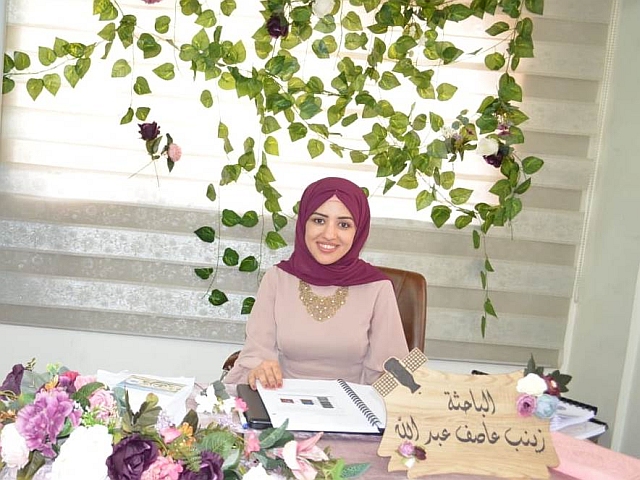
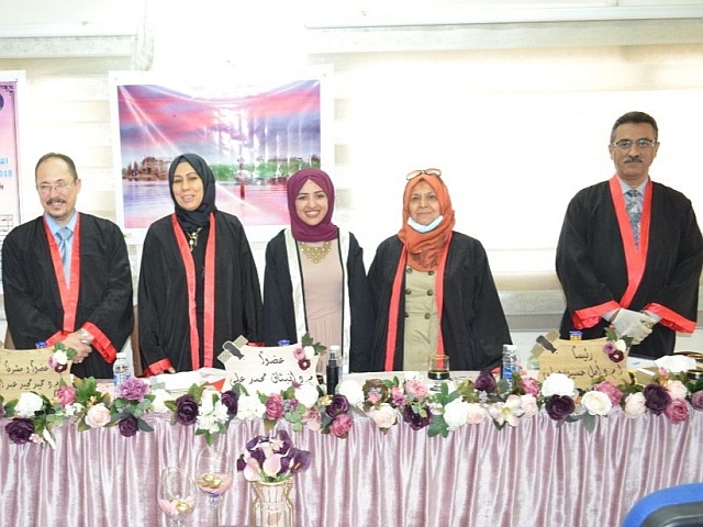
( الكشف عن التغيرات في المسطحات المائية لجنوب العراق خلال الفترة من 2017 الى 2019 ) للطالبة (زينب عاصف عبد الله ) التي انجزتها تحت اشراف التدريسي في القسم (أ.م. د. حميد مجيد عبد الجبار ) ونوقشت من قبل اعضاء لجنة المناقشة المبينة اسمائهم فيما يأتي :
-
أ.م.د. امل حسين عباس (رئيسا)
-
أم.د. عدي حاتم شعبان (عضوا)
-
م.د. انبثاق محمد علي عبد الامير (عضوا)
-
أ.م.د. حميد مجيد عبد الجبار (عضوا و مشرفا)
تهدف هذه الدراسة إلى دراسة التغيرات التي طرأت على بيئة الأهوار. العراق ضمن الحدود الإدارية للمحافظات الخمس (واسط ، القادسية ، ميسان ، ذي قار ، البصرة) وذلك بسبب التغيرات المناخية التي صاحبت موسم الأمطار 2018 – 2019 من كميات استثنائية من الأمطار تجاوزت المعدلات السنوية المعتادة وما يصاحبها من أمطار غزيرة في مناطق جنوب العراق ،.
الهدف الآخر هو دراسة وتحليل الاستجابة الطيفية للفئات المكونة لغطاء الأرض وتحديد سلوكها ضمن الأطوال الموجية لمستشعر OLI الخاص بـ Landsat 8..
تعنى هذه الدراسة بالتغيرات الأخيرة التي حدثت في منطقة الأهوار جنوب العراق خلال السنوات الثلاث الماضية (2017-2019) نتيجة التغيرات في المناخ العالمي التي اثرت على هذه الثروة التي تميّز العراق بها عن بقية الدوال المجاورة له او حتى ضمن قارة اسيا وذلك لكبر مساحة الاهوار والتنوع البيئي التي تمتلكها. نظرا للعوامل المتعددة التي اثرت على منطقة اهوار جنوب العراق والتي تراوحت بيت مؤثرات مناخية او بشرية فقد عانت هذه المنطقة من تغيرات عديدة والتي دفعتنا لأجل دراسة التغيرات الاخير التي حدثت في منطقة الاهوار.
اشتملت الدراسة على جميع المسطحات المائية في خمس محافظات تقع في مناطق جنوب العراق (واسط، ميسان، ذي قار، القادسية والبصرة) والتي تمثل أراضي الأهوار في العراق، وتنقسم إلى ثلاث أهوار رئيسية، وهي: الحمار والأهواز والأهوار الوسطى.
نظرا لكبر المساحة التي تغطيها المحافظات الخمسة فقد تم استخدام تسع مرئيات للقمر الصناعي لاندسات 8 والتي تمثل الحزم الطيفية ضمن التحسس OLI لعمل فسيفساء للمشهد الذي سيغطي منطقة الدراسة. تم اختيار المشاهد لتكون في فصل الصيف وتحديدا في شهر تموز لسهولة الحصول على مشاهد خالية من الغيوم وبأقل فارق زمني بين المشاهد المكونة للفسيفساء (اقل من 18 يوم).
تم تخصيص منطقة الدراسة لتكون ضمن الحدود الادارية للمحافظات الخمسة وذلك بإجراء عملية القطع للمشهد الذي يحتوي على المحافظات الخمسة بوساطة برنامج QGIS، بعد تحويل قيم المشاهد الرقمية الى ما يكافئها من قيم الانعكاسية.
تم تقسيم غطاء الارض لمنطقة الدراسة الى 16 فئة ثانوية (نهر ضحل، نهر عميق، مستنقع ضحل، وسط مستنقع، مستنقع عميق، عميق جدًا، قصب، ورق بردي، نبات فاتح، نبات قاتم، مستنقع نبات ابن نجم، تربة رمادية، تربة رمادية داكنة، تربة بيضاء، تربة رطبة وحضرية) حرصا على الحفاظ على دقة تصنيف عالية، والتي بدورها فان هذه الاصناف الفرعية تمثل أربع اصناف رئيسية وهي (الماء، النبات، التربة، العمران).
تم استخدام تركيب الحزم الطيفية (تحت الاحمر القريب، الاحمر، الاخضر) فضلا عن استخدام تحويل PCA لتوضيح الاصناف الفرعية بشكل أكثر دقة ولتحديد مجموعات التدريب، حيث تمت مقارنة كل من الطريقتين لأجل حسم انتماء كل مكون لغطاء الارض الى مجموعات التدريب الممثلة للأصناف الثانوية.
تم استخدام مصنف SVM بواسطة برنامج ENVI لتصنيف غطاء الارض لمنطقة الدراسة حيث تم الحصول على نتائج حساب التغيرات في المساحات المائية وتم تسجيل معدل دقة عالي في منطقة الدراسة للسنوات الثلاث التي تم اعتمادا حيث تم تسجيل قيمة دقة كلية لا تقل عن 85٪ ومعامل كابا لا يقل عن 0.85، وتم احتساب ايضا قيم العمولة والسهو ودقة المستخدم ودقة المصنف.
وخلصت الطالبة الباحثة الى التوصيات الاتية :
-
دراسة الأهوار باستخدام صور الأقمار الصناعية ذات الدقة المكانية الأعلى للحصول على نتائج أكثر دقة.
-
أخذ عينات من أنواع النباتات الموجودة في الأهوار لتمييزها أثناء عملية التصنيف ولحساب مساحة الأهوار بشكل أكثر دقة.
-
حساب كميات السيول التي تغذي الأهوار وكذلك التصريفات المائية من السدود التي تغذي مناطق الأهوار لحساب تأثيرها على تغير كمية المياه المخزنة بالأهوار
تم حساب مصفوفة التغيير لثلاث سنوات بإخذ 2017 كسنة مرجعية لمعرفة التغيرات التي حدثت في منطقة الدراسة وتم احتساب نسبة بقاء الصنف الثانوي ضمن صنفه ومناقشة اسباب ذلك. ان مقارنة المساحة الكلية للكتل المائية للسنوات الثلاث اظهرت ان عام 2019 يمثل نقطة تحول في سلوك الاهوار التي عانت من فترة الجفاف حيث تضاعفت مساحة الاهوار مرتين مقارنة بعام 2018 او زيادة مقدارها 50% مقارنتا مع عام 2017 وحيث استعادت الاهوار جزء كبير من مساحتها.
لتوضيح الزيادة الكبيرة في كميات الأمطار لعام 2019 والتي كانت أحد العوامل المهمة في زيادة مساحة الكتل المائية، تم أخذ كميات الأمطار الموسمية المسجلة من 11 محطة تقع في منطقة الدراسة للسنوات الثلاث 2017، 2018 و2019 حيث اظهرت ان كميات الامطار في عام 2019 كانت استثنائية وفاقت معدلاتها مقارنتا بالسنوات السابقة.
تمت دراسة سلوك الاستجابة الطيفية للأصناف الفرعية التي تكون غطاء الأرض لمنطقة الدراسة بوساطة رسم انعكاسية كل فئة فرعية مع متوسط الطول الموجي للحزم المستخدمة في عملية التصنيف والتي بينت ان الاصناف الفرعية التي تنتمي الى الاصناف الرئيسية للكتل المائية والنبات تمتلك سلوكا متشابها في الاستجابة الطيفية، حيث تزداد الاستجابة مع الطول الموجي المستخدم ليصل اعلى استجابة عند الطول الموجي ٠.875 مايكرومتر وبعدها تبدء الاستجابة الطيفية بالتناقص مع تقارب تلك الاستجابة، وهي على العكس من الاستجابة الطيفية للأصناف الفرعية التي تنتمي الى الاصناف الرئيسية للحضر والتربة حيث كانت متشابها في سلوكها حيث كانت تزداد مع الطول الموجي مع تباعد الاستجابة الطيفية لتلك الاصناف بحيث يصبح التمييز بينها افضل
Detect the Changes in Southern’s Iraqi Water Bodies Through 2017 to 2019
By Zainab Aasis Abdulla
Supervised by Asst.prpf.Dr.Hameed M. Abduljabar
Abstract
This study is concerned with the recent changes that have occurred in the marshes region in southern Iraq during the past three years (2017-2019) as a result of changes in the global climate that have affected this wealth that distinguishes Iraq from the rest of its neighboring states or even within the continent of Asia due to the large area of marshes and diversity Environmental owned. Due to the multiple factors that affected the marshes region in southern Iraq, which ranged from climatic or human influences, this region has suffered from many changes that prompted us to study the recent changes that occurred in the marshes area.
The study included all water bodies in five provinces located in the regions of southern Iraq (Wasit, Maysan, DhiQar, Qadisiyah and Basra), which represent the lands of the marshes in Iraq, and are divided into three main marshes: Al-Hammar, Al-Ahwaz, and the Central Marshlands.
Due to the large area covered by the five provinces, nine visuals for the Landsat 8 satellite, which represent the spectral beams within the OLI sensor, were used to create a mosaic of the scene that would cover the study area. The scenes were chosen to be in the summer season, specifically in the month of July, for easy access to cloud-free scenes and with the least time difference between the scenes that make up the mosaic (less than 18 days).
The study area was allocated to be within the administrative boundaries of the five provinces by conducting the cutting process for the scene that contains the five provinces, with the help of the QGIS program, after converting the values of the digital scenes into their equivalent reflectivity values.
The land cover of the study area was divided into 16 subclasses (river shallow, river deep, marsh shallow, marsh mid, marsh deep, very deep, reed, papyrus, plant light, plant dark, plant marsh ibn najem, soil gray, soil gray dark. soil white, soil wet and urban) in the interest of maintaining high classification accuracy, which in turn, these subclasses represent four main classes (water, plant, soil and urban).
The composition of the spectral beams (near infrared, red, green) was used, as well as the use of PCA transformation to more accurately clarify the subcategories and to define the training groups, as each of the two methods was compared in order to determine the belonging of each component of the land cover to the training groups representing the subcategories.
The SVM classifier was used by the ENVI program to classify the land cover for the study area, where the results of the calculation of changes in water areas were obtained, and a high accuracy rate was recorded in the study area for the three years that was approved, where an overall accuracy value of not less than 85% was recorded and the Kappa parameter was not less About 0.85, the values of commission, omissions, user accuracy, and classifier accuracy were also calculated.
The change matrix was calculated for three years by taking 2017 as a reference year to find out the changes that occurred in the study area, and the survival rate of the secondary subclasses within its class was calculated and the reasons for that were discussed. A comparison of the total area of water bodies for the three years showed that the year 2019 represents a turning point in the behavior of the marshes, which suffered from the drought period, as the area of the marshes doubled twice compared to the year 2018 or increased by 50% compared to the year 2017, as the marshes regained a large part of their area.
To clarify the large increase in the quantities of rain for the year 2019, which was one of the important factors in increasing the area of water bodies, the monsoon rainfall recorded amounts were taken from 11 stations located in the study area for the three years 2017, 2018 and 2019, as it showed that the amounts of rain in 2019 were exceptional and exceeded their rates compared to previous years.
The behavior of the spectral response of the subclasses that make up the land cover of the study area was studied by drawing the reflectivity of each subclass with the average wavelength of the beams used in the classification process, which showed that the subclasses belonging to the main classes of water bodies and plants have similar behavior in the spectral response, which increases the response with the wavelength used to reach the highest response at the wavelength of 0.875 µm, after which the spectral response begins to decrease with the convergence of that response, which is in contrast to the spectral response of the sub-classes that belong to the main classes of urban and soil, as it was similar in behavior as it increased with length the waveform with diverging the spectral response of those classes so that the distinction between them becomes better.
Future Works
Below are some future projects that can be conducted based on the results of this study.
Study the marshes by using satellite imagery of higher spatial resolution to obtain more accurate results.
Sampling the types of plants present in the marshes to distinguish them during the classification process and to calculate the area of the marshes more precisely.
Calculating the quantities of torrents that supply the marshes as well as the water releases from the dams that supply the marshes areas to calculate their effect on the change of the amount of water storage of the marshes